Sea-ice research produces tremendous amounts of observational data. Even for experts, sifting through this sea of numbers to arrive at the right conclusions can often be challenging. Accordingly, they convert the raw data into maps and graphics, which are often the best and most straightforward way to describe trends. With the relaunch of the SEA ICE PORTAL, all maps and graphics now feature a new, clear design and can be downloaded free of charge for non-commercial use. Just as in the past, more detailed versions of the same products can be downloaded from the data portal at SEA ICE PORTAL.
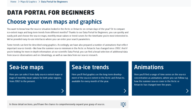
Yet the new “Data Portal for Beginners” also represents a service that requires no previous experience with data portals to use, but still offers in-depth insights. Here, the most important data on the sea-ice development in the Arctic and Antarctic is presented in a format that allows all users to quickly create an individual overview without having to take a “deep dive” into the often-complex world of modern sea-ice research.
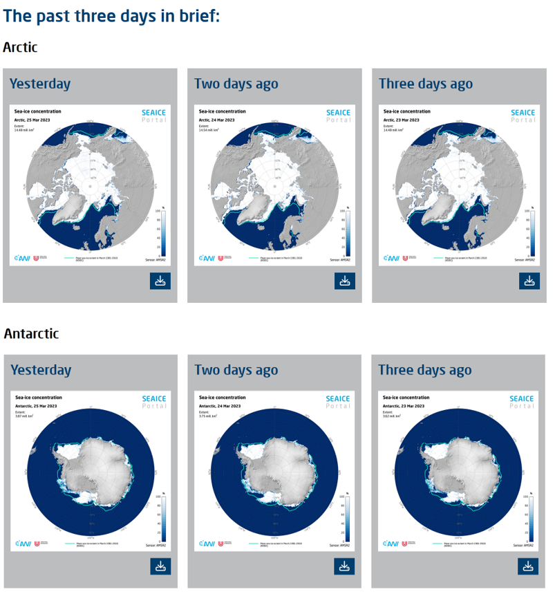
“In order to open up the world of data products to non-experts, we designed the Data Portal for Beginners with intuitive, easy-to-follow navigation” explains Ralf Röchert, who heads the “Strategic Science Communication” office at the Alfred Wegener Institute and accompanied the development of the “new” SEA ICE PORTAL. “Anyone who wants to know how the sea-ice situation looked in the Arctic or Antarctic on certain days, or in certain months, of a given year, can use the Data Portal for Beginners to quickly and easily create an individualised set of maps, all by themselves.”
“The long-term sea-ice extent trends for specific months can now be quickly and easily compared,” says Dr Renate Treffeisen, one of the coordinators of the SEA ICE PORTAL, pointing out another new option offered. “With our Data Portal for Beginners, users can pick and choose the sea-ice maps, monthly mean values or trend curves for the timeframe they’re most interested in. Therefore, e.g. educators can configure their own tailor-made selection of maps and graphics and, since the usage rights are clear, apply them in their classroom teaching."
Needless to say, anyone looking for more in-depth information can continue to use the previous data portal. And that’s hardly the last update you’ll see to the SEA ICE PORTAL. “We’re currently working on an interactive graphic that will soon go online, too,” says Renate Treffeisen, offering a glimpse of the next new feature. “So, it’s definitely worth dropping by the SEA ICE PORTAL on a regular basis to see what’s new.”
Kontakt
Questions?
Contact us by E-Mail or use our contact form.


